Night Environment
New Jersey
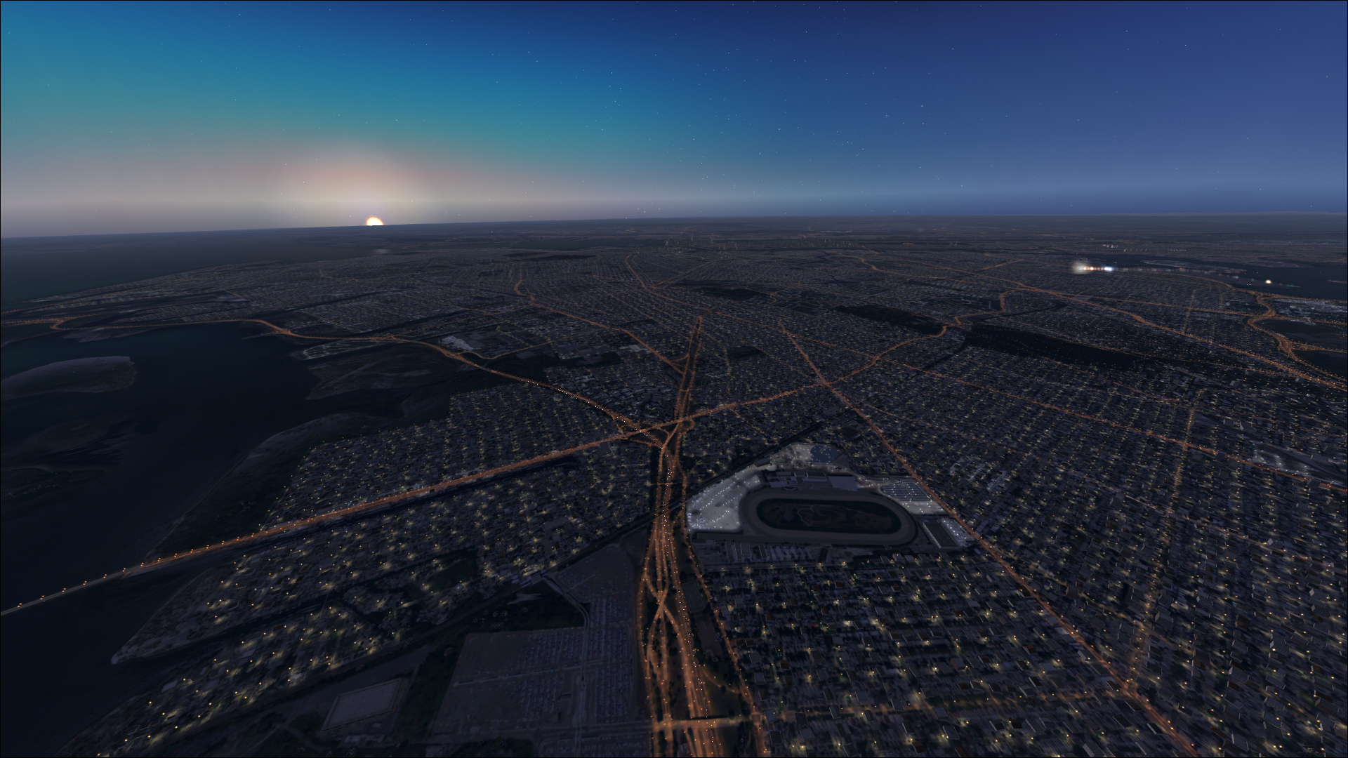
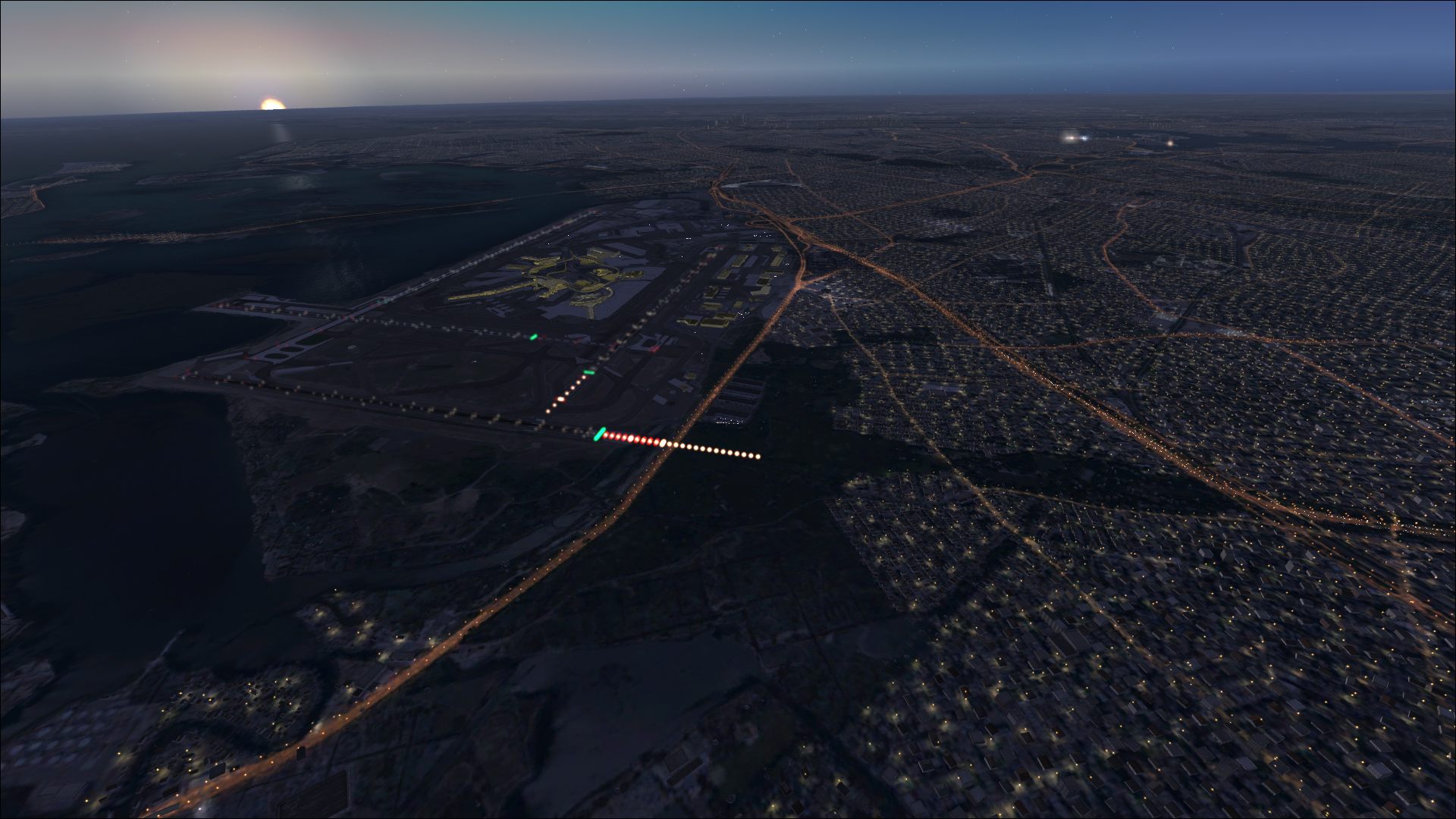
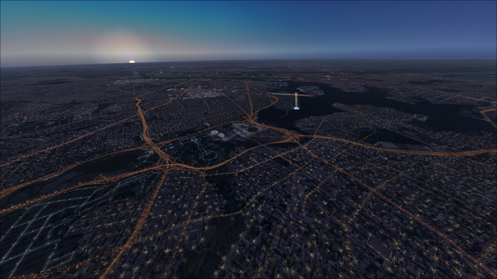
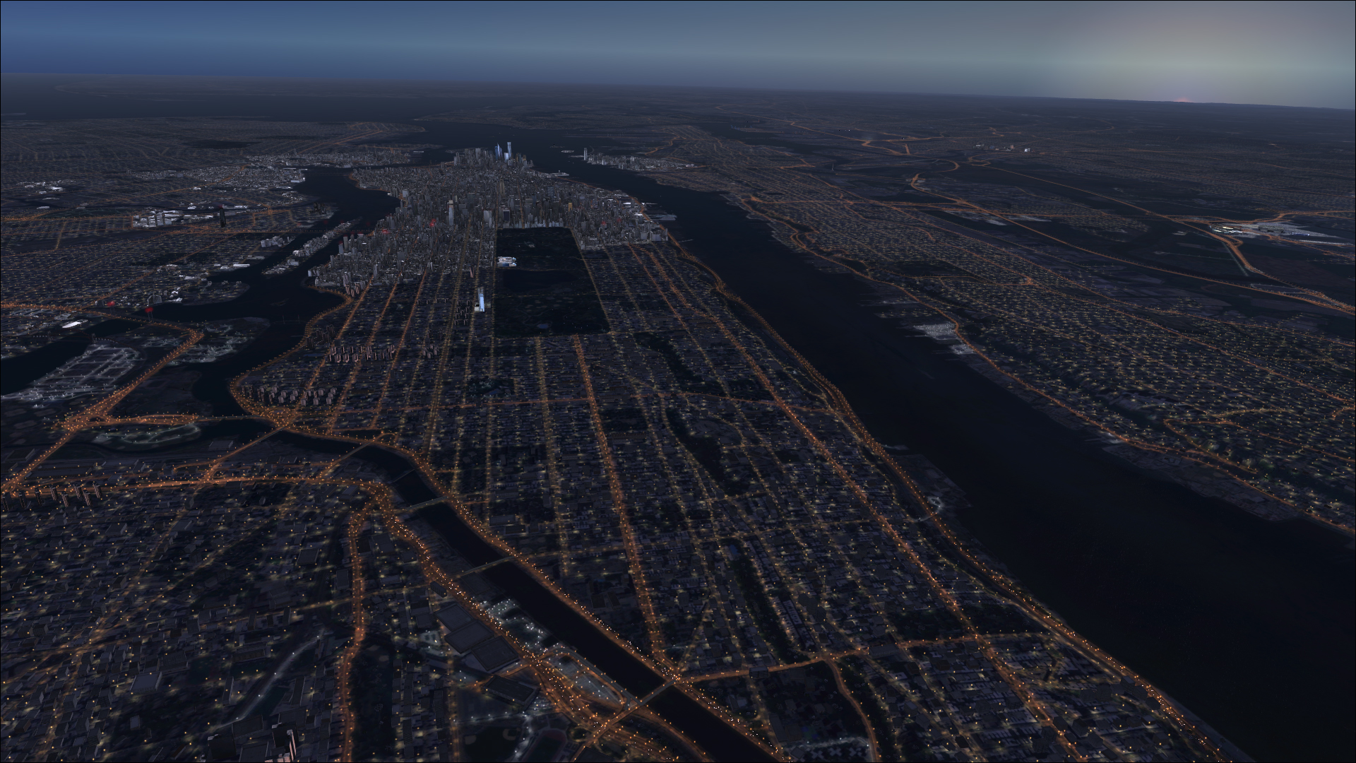
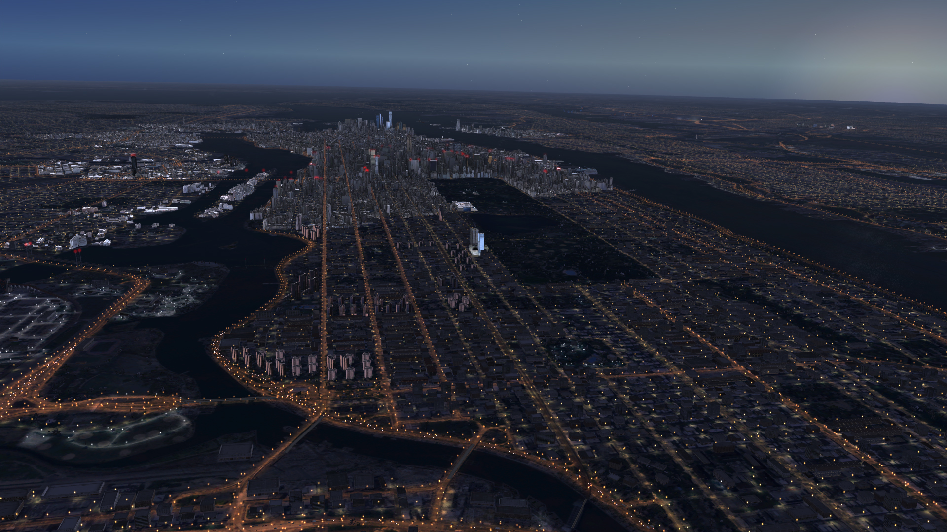
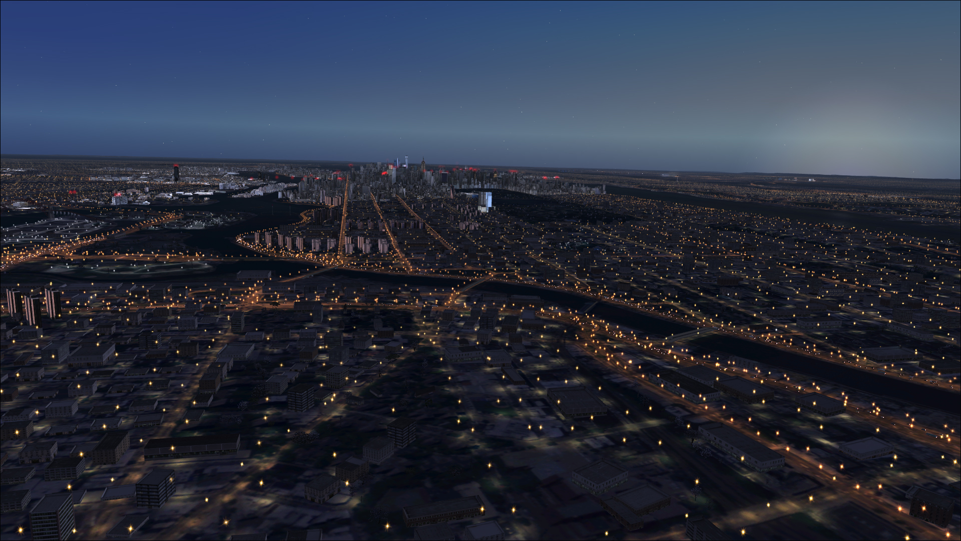
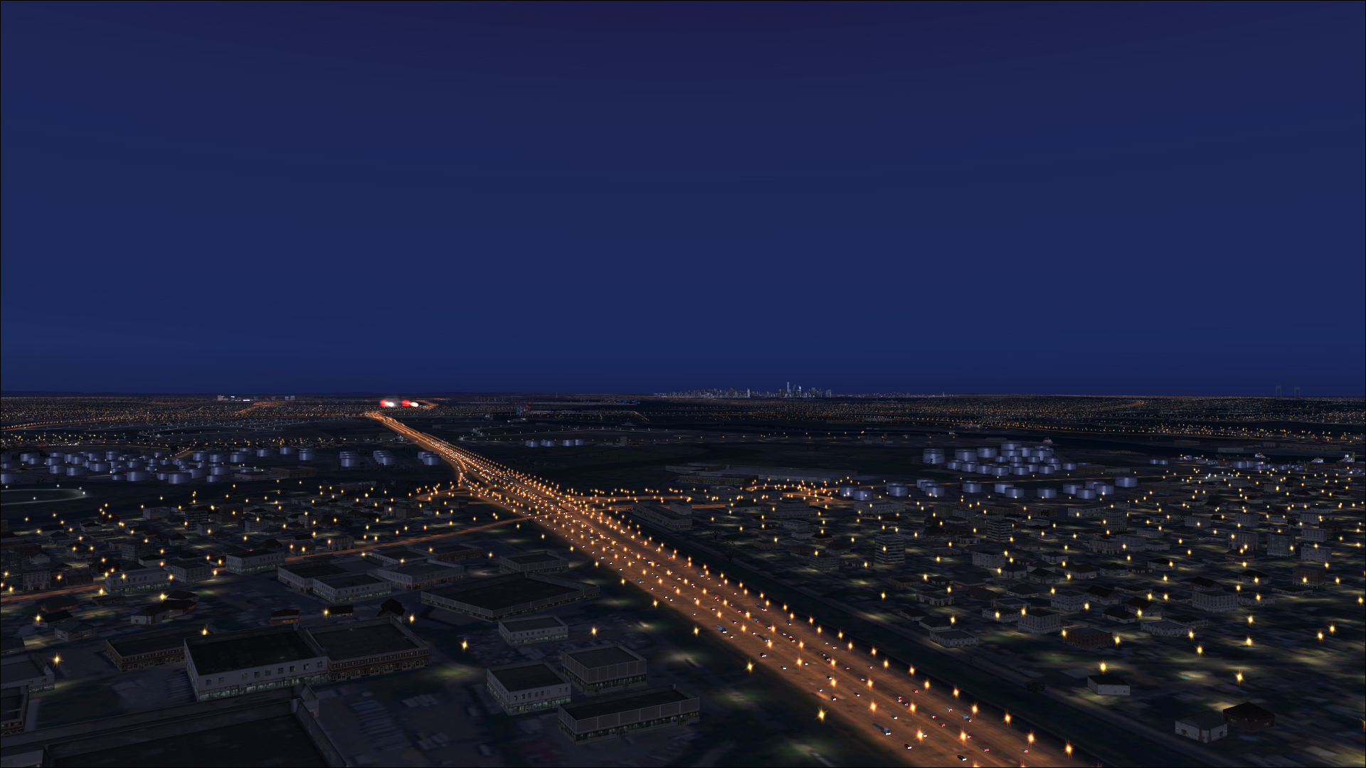
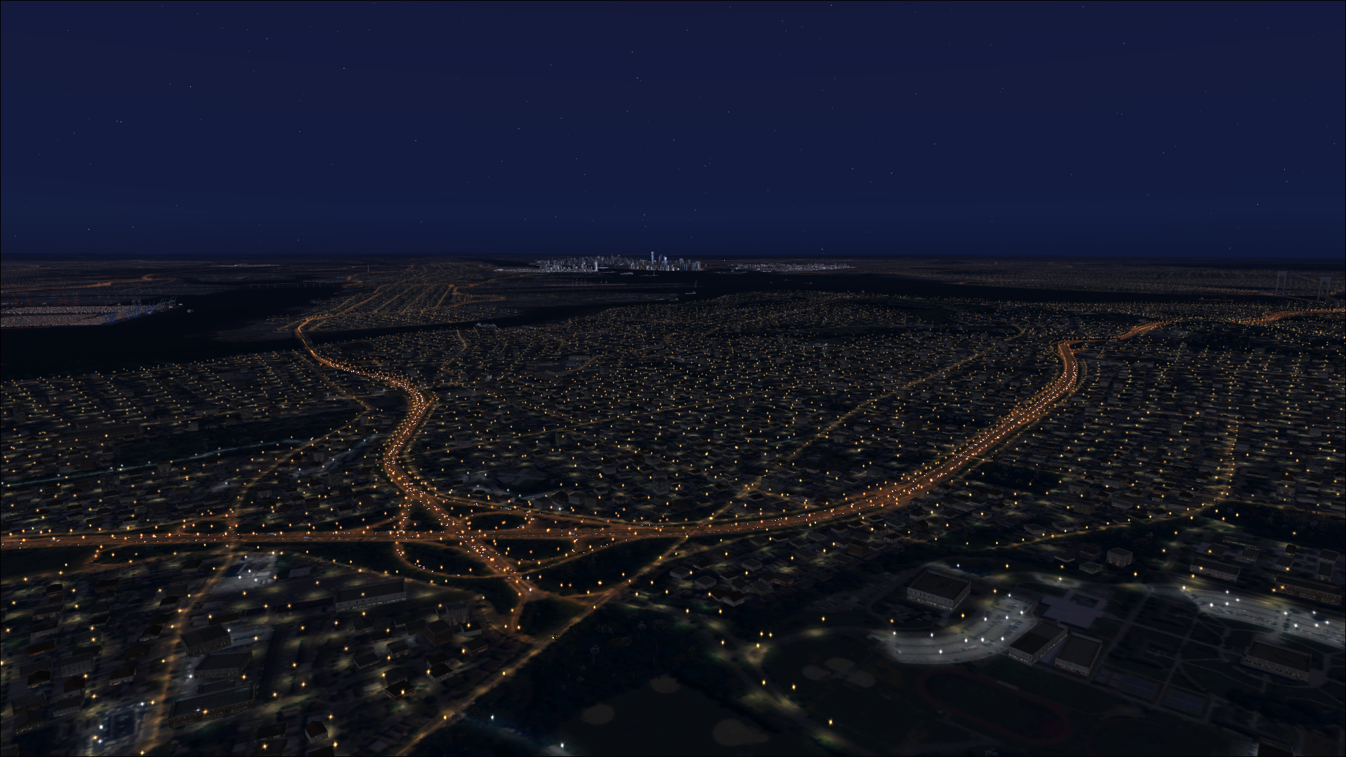
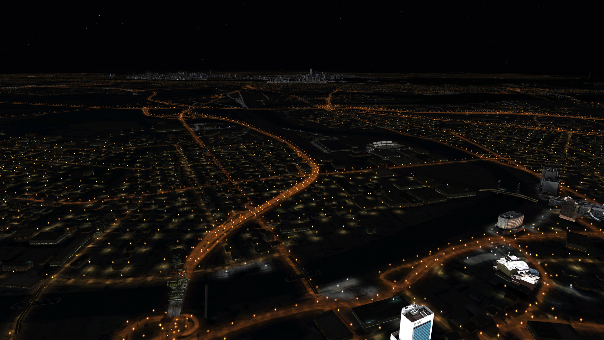
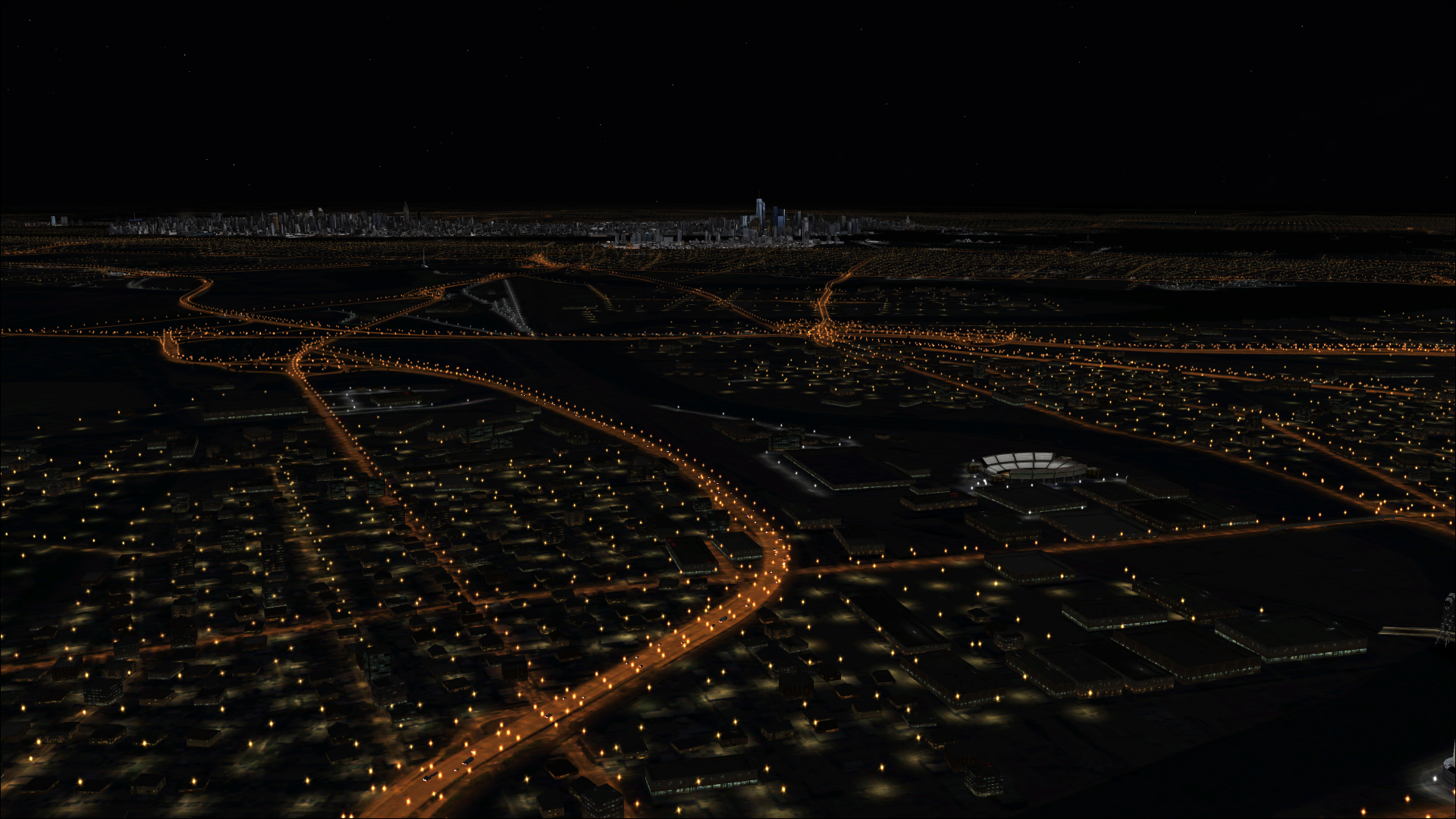
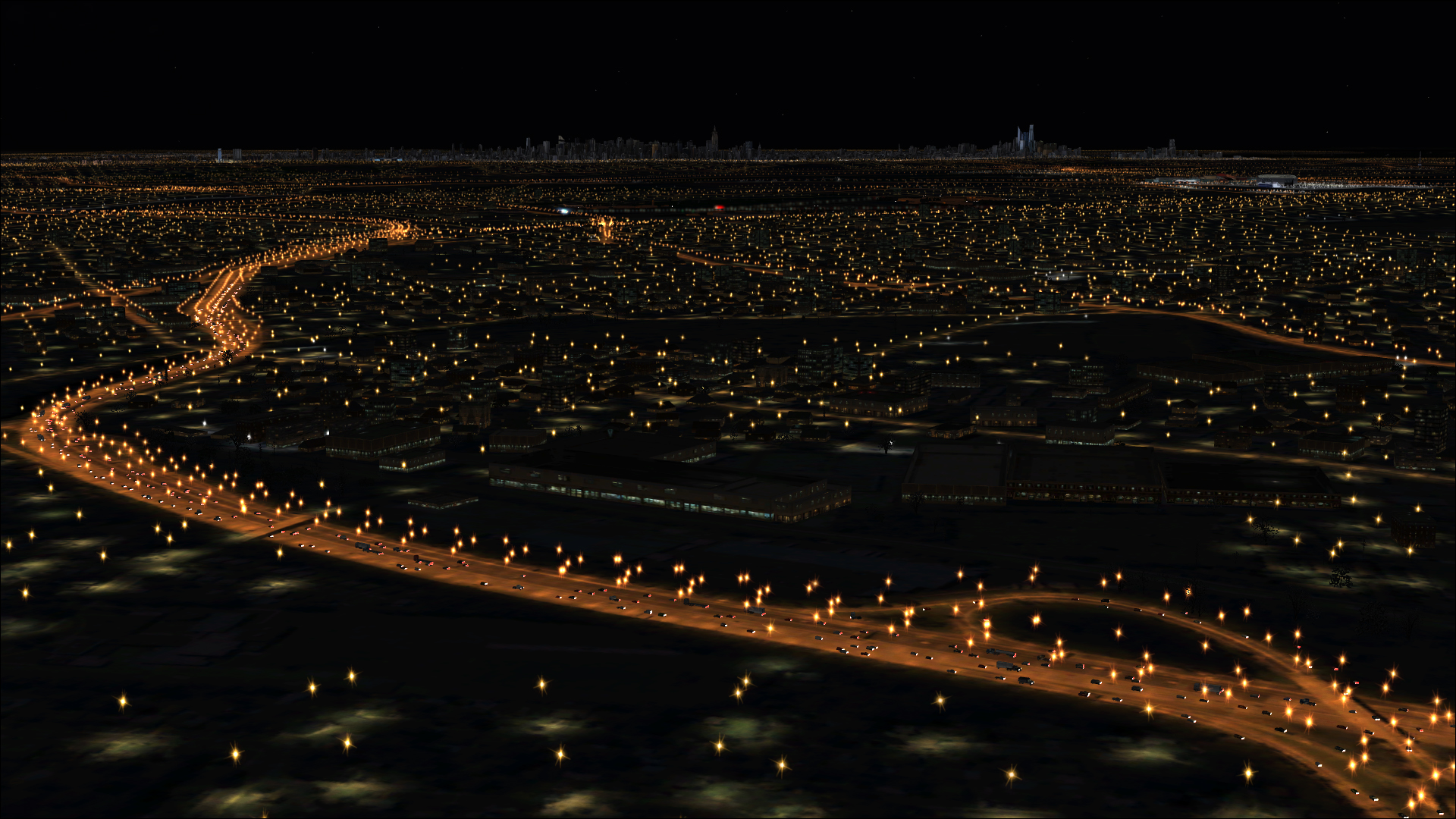
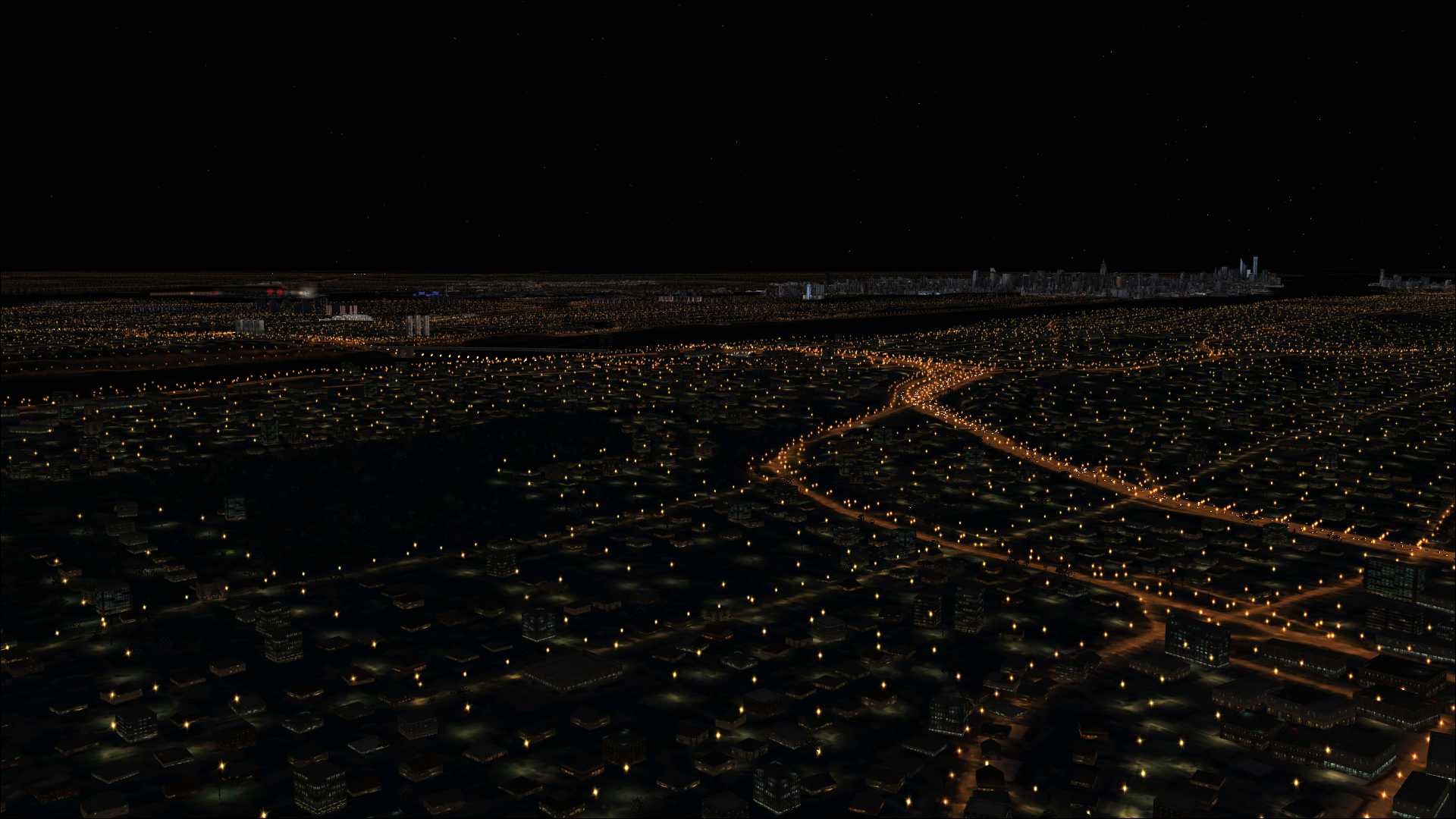
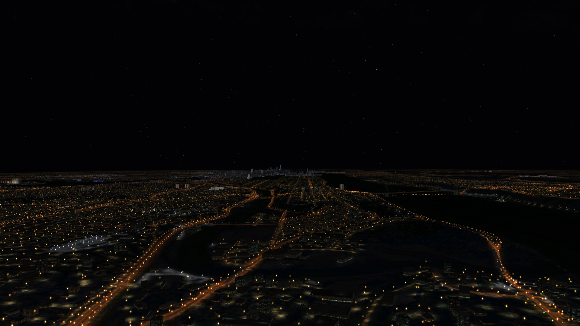
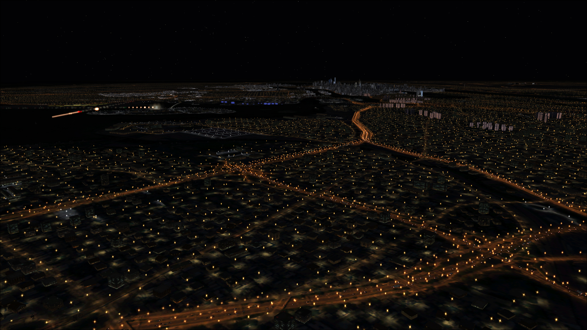
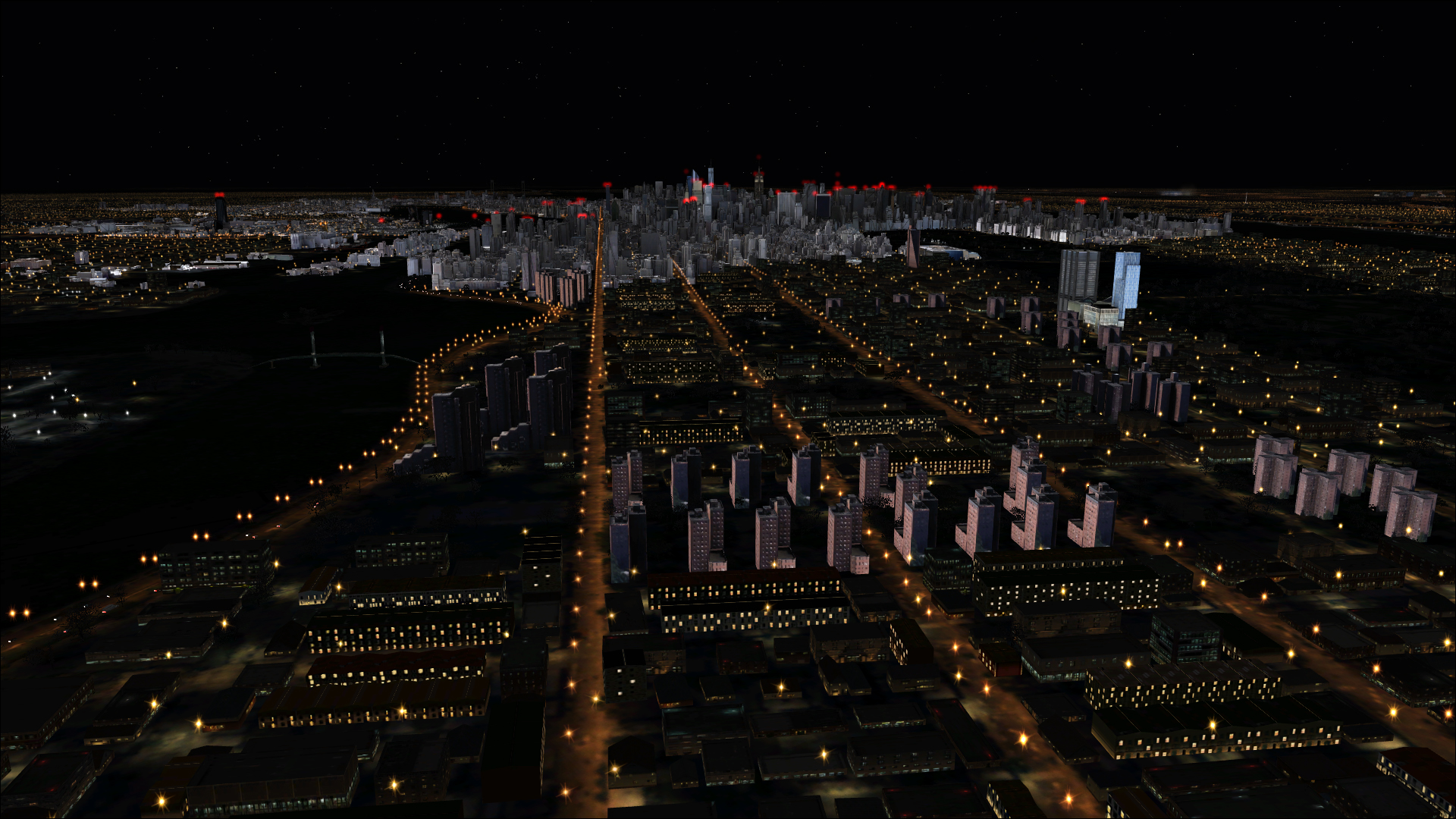
Night Environment New Jersey adds real world road vector data to your night flight visuals. We spread 1,005,544 3D lights to highlight the road grid below as seen from the flightdeck. Our lights are placed accurately with 1:1 real world fidelity. Each Night Environment region offers you the chance to practice and train for real-world night navigation based on the realistic visuals Night Environment renders in your area.
The Night Environment lighting system illuminates a region of 60nm around your aircraft as you fly. Our lights are not affected by the low rendering distance limiations inherant with Autogen often seen with similar autogen based lighting products.
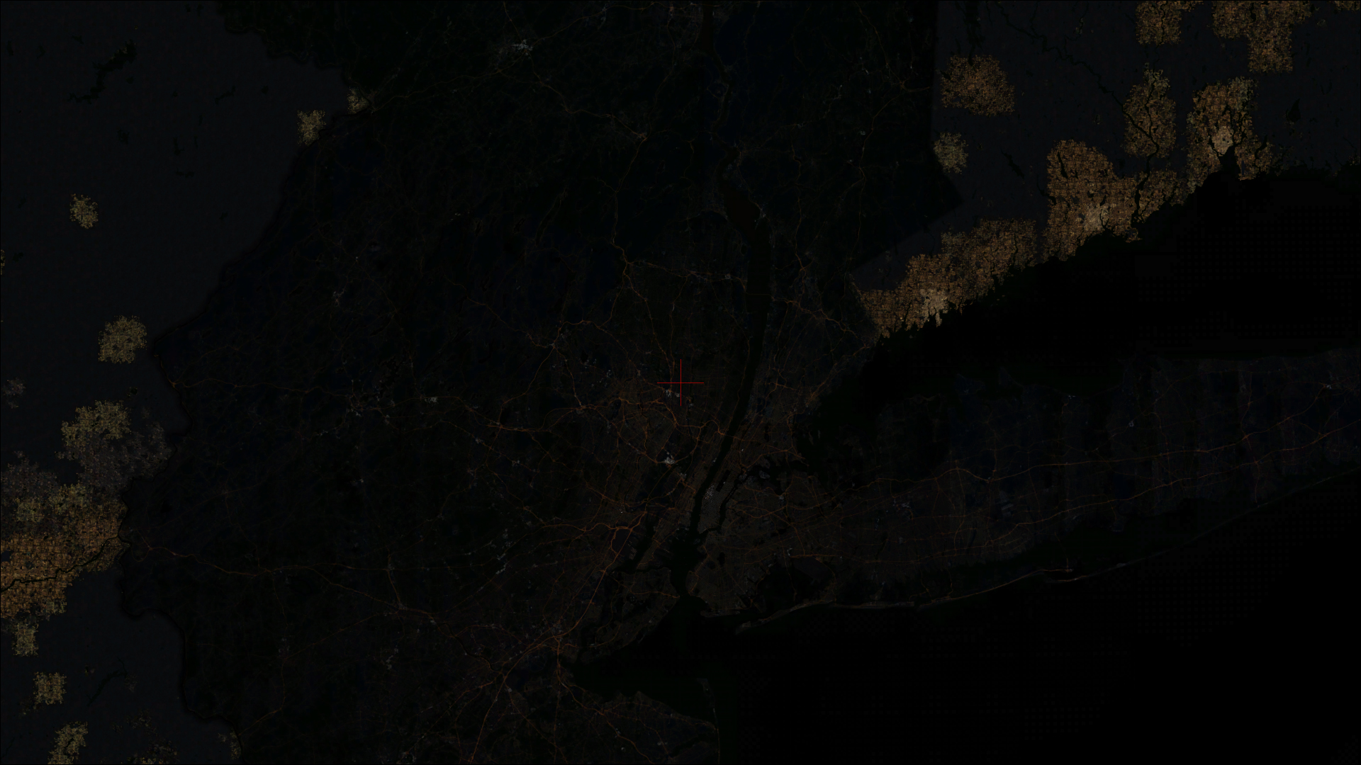
Night Environment New-Jersey covers the entire New-Jersey state area.
Geographical Data
New Jersey
New-Jersey Peninsula is a northeastern U.S. state with some 130 miles of Atlantic coast. Jersey City, across the Hudson River from Lower Manhattan, is the site of Liberty State Park, where ferries embark for nearby Ellis Island, with its historic Immigration Museum, and the iconic Statue of Liberty.
The Jersey Shore includes notable resort towns like historic Asbury Park and Cape May, with its preserved Victorian buildings. New-Jersey has the highest population density in the U.S. An average 1,030 people per sq. mi., which is 13 times the national average.
New-Jersey has over 50 resort cities and towns, some of the nation’s most famous, Asbury park, Wildwood, Atlantic City, Seaside heights, Cape May.
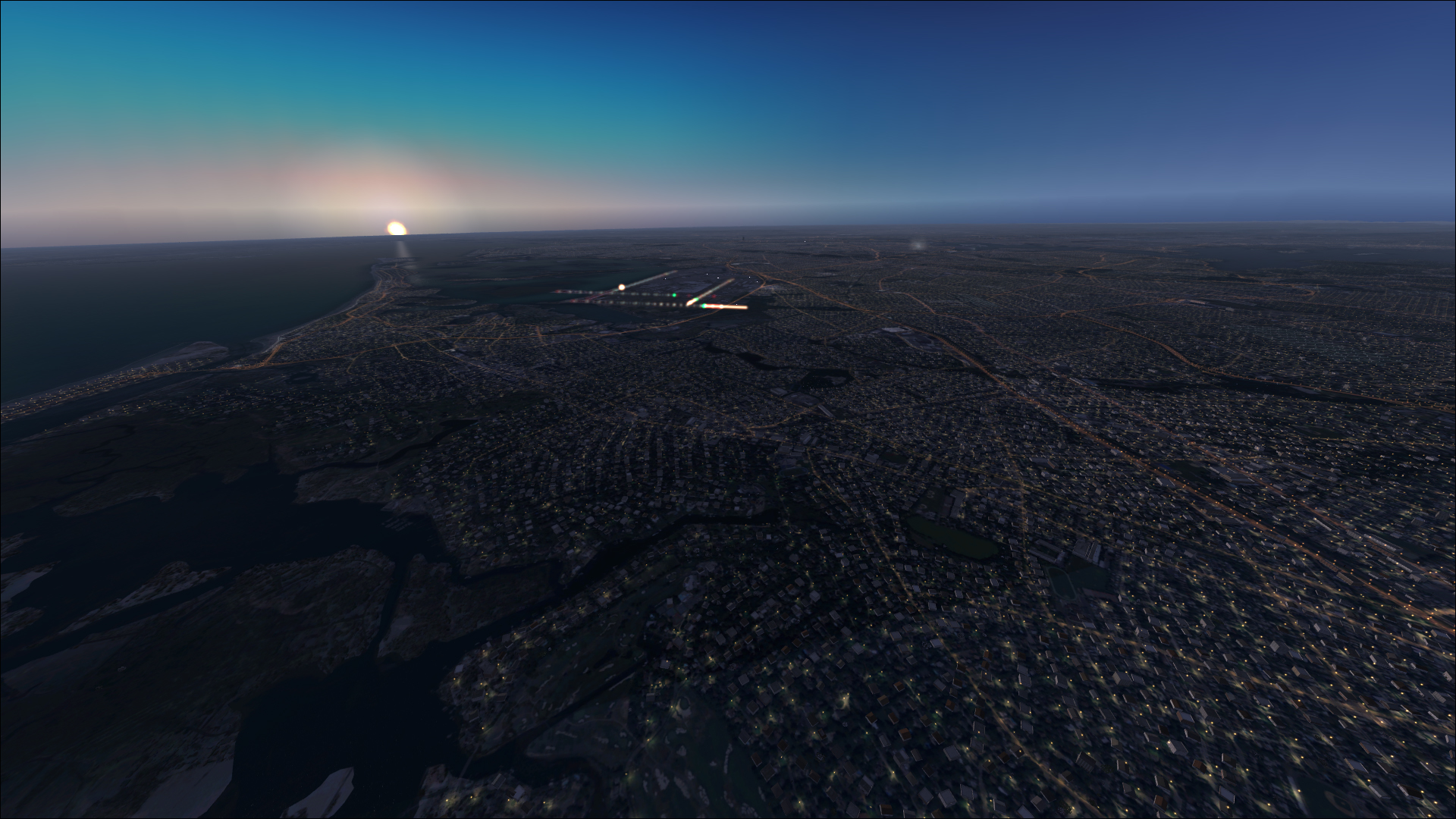
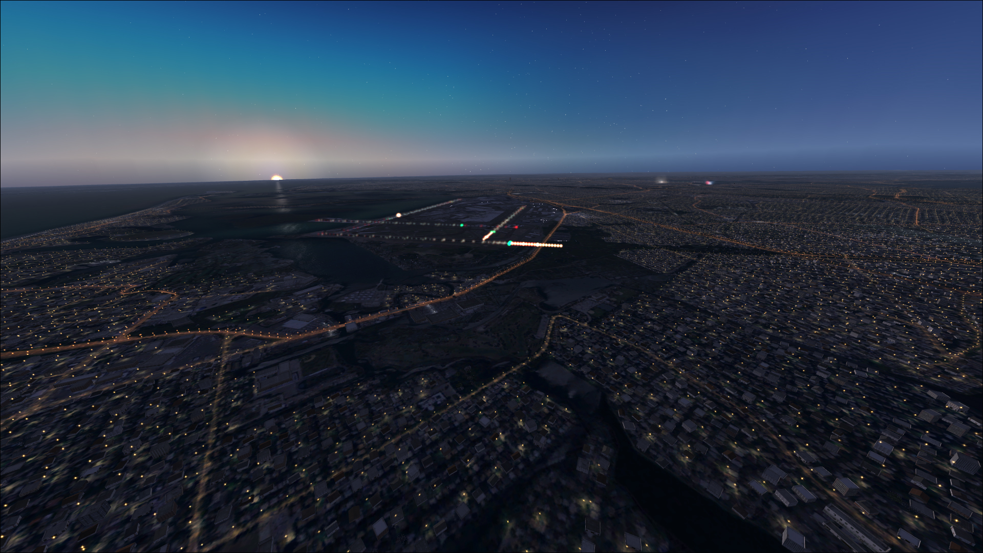
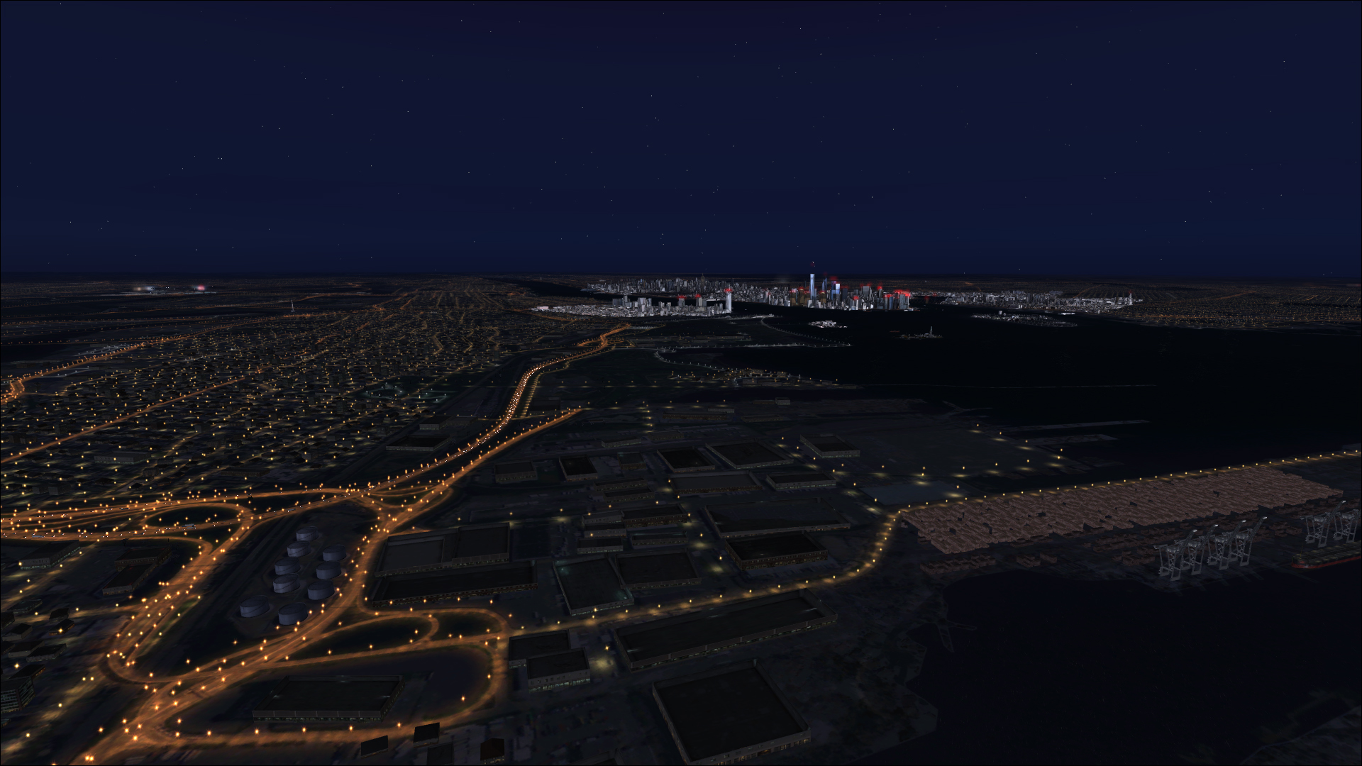
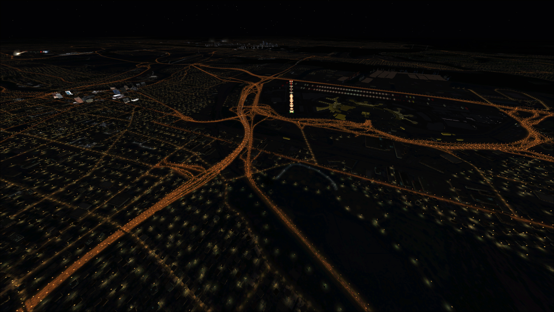
Screenshots